Caen to La Rochelle: By Train, Car or the Vélofrancette — 2026 Guide
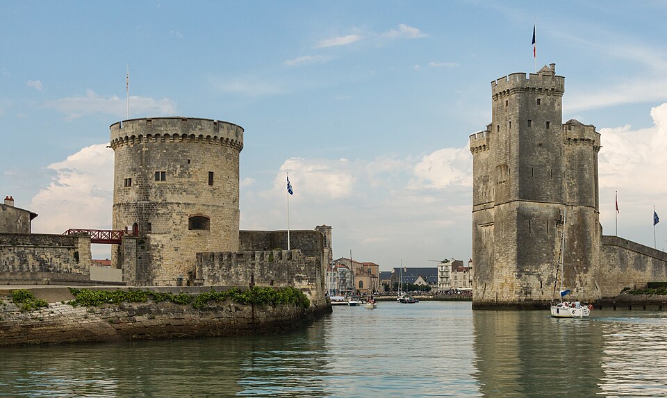
Caen to La Rochelle is a journey of approximately 267 miles (430km) — from William the Conqueror’s Normandy to the sun-bleached Atlantic harbour of one of France’s most beautiful cities. There is no direct train: the route goes via Paris, with a change between Gare Saint-Lazare and Gare Montparnasse, taking around 5 hours 35 minutes at its fastest and 6 to 7 hours more typically. By car, the route runs south through Normandy via Le Mans and Angers, arriving in approximately 4 hours 15 minutes in clear traffic. The total distance by road is around 250 miles (400km).
But the most remarkable way to travel from Caen to La Rochelle is one that most people never consider: cycling. The Vélofrancette — an officially designated long-distance cycle route — runs almost 630 kilometres from Ouistreham (the Brittany Ferries port, 15km north of Caen) to La Rochelle on the Atlantic coast. It follows canals, rivers and voies vertes almost entirely, is largely flat, and the first sign pointing you south is visible the moment you step off the Portsmouth ferry. For cyclists arriving from the UK, it is one of the most satisfying journeys in France.
This guide covers all three options — train, car, and Vélofrancette — with verified times, fares, routes, and the complete picture of what La Rochelle offers at the end of the journey.
Last updated: June 2026 | Train times and fares verified from SNCF Connect and Trainline